Image
North America Maps (1542-2007)
Historical context
The continent of North America contains 23 countries, the most populated of which are Canada, Mexico, and the United States. Indigenous people have lived in North America for thousands of years. European countries began exploring the continent in the 15th century and began to colonize the land and its inhabitants. Through wars, treaties, and occupations, various European nations took possession of most of the continent, changing political boundaries numerous times. European mapmakers tracked the changes as they learned more about the continent and as different nations claimed ownership.
Culturally relevant pedagogy considerations
What stands out to you about the mapmakers of this set? In culturally relevant classrooms, it is important to explicitly acknowledge that historical preservation practices are not neutral. Availability of maps created by indigenous Americans are notably absent in this set, as well as the perspectives of other non-dominant cultural groups across American history. When presenting these maps to students, consider together how cultural narratives absent from this set could be recovered. Allow space for students to analyze the perspectives of the map-makers and consider the voices and perspectives absent and investigate why. Who collects these items? What criteria is used to determine what is important to preserve and what is not? Who decides what constitutes a map and which mapmakers are reputable?
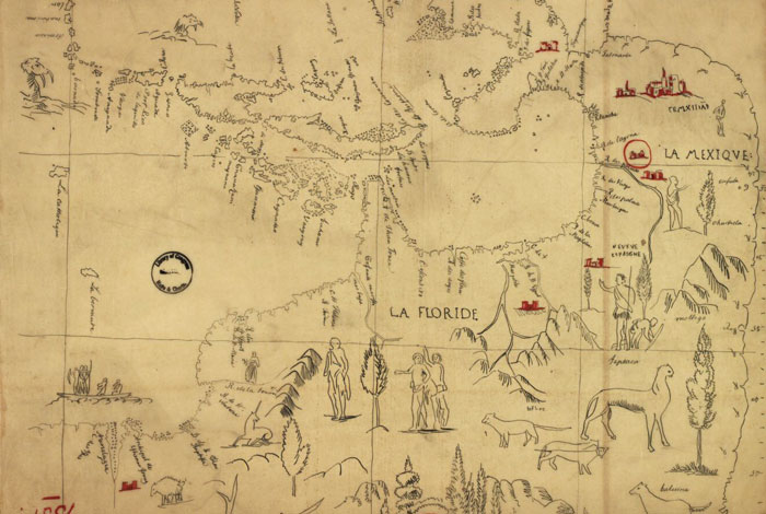
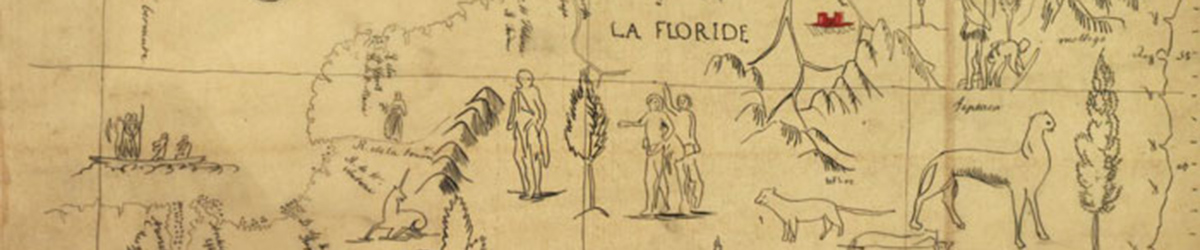
L’Amerique centrale
Date: 1542
Creator: Unknown
Type: Map
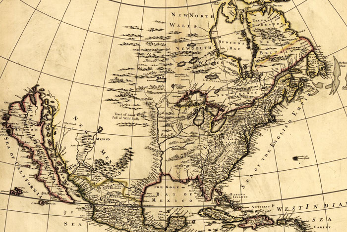
North America divided into its III principall parts
Date: 1685
Creator: Philip Lea
Type: Map
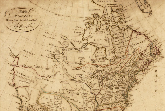
North America drawn from the latest and best authorities
Date: 1787
Creator: John Harrison
Type: Map
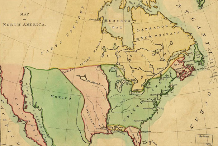
A map of North America
Date: 1803
Creator: John Luffman
Type: Map
N. America.
Date: 1807
Creator: Samuel Harrison
Type: Map
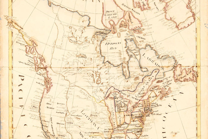
North America
Date: 1815
Creator: Unknown
Type: Map
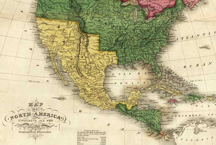
Map of North America including all the recent geographical discoveries
Date: 1826
Creator: Anthony Finley
Type: Map
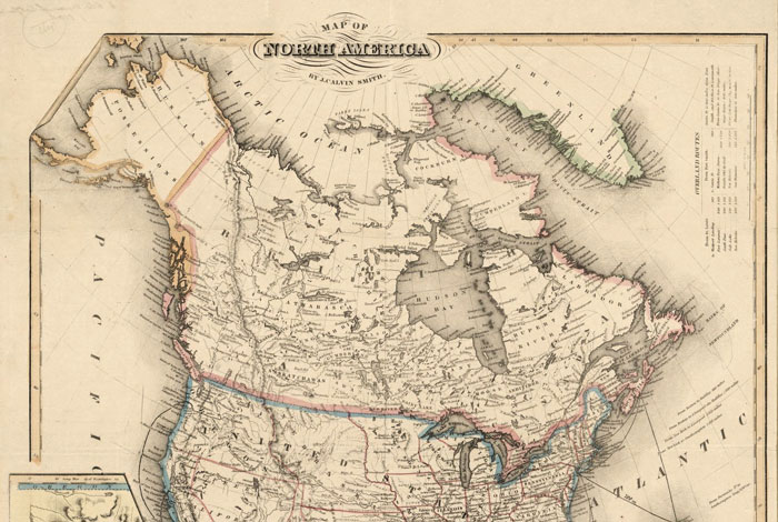
Map of North America
Date: 1850
Creator: John Calvin Smith
Type: Map
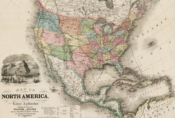
Map of North America from the latest authorities, showing the proposed railroad routes
Date: 1854
Creator: Nathaniel Prentiss Banks
Type: Map
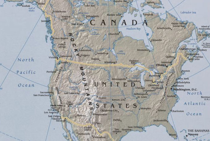
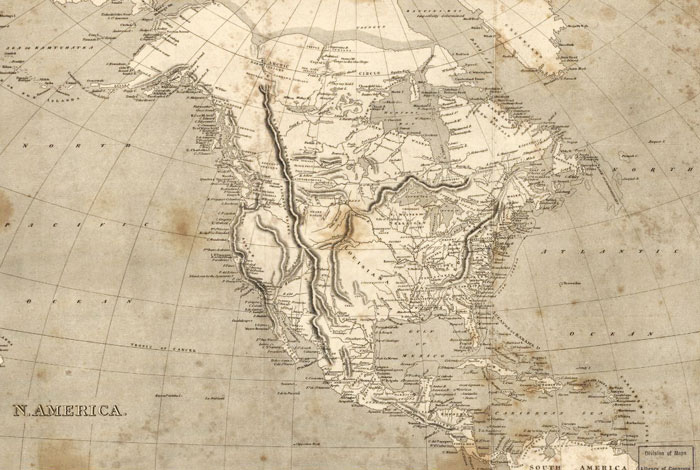
North America
Date: 2007
Creator: Central Intelligence Agency
Type: Map
Contact
Meghan Davisson (meghan.davisson@mnhs.org), grant director
Disclaimer: Content created and featured in partnership with the TPS program does not indicate an endorsement by the Library of Congress.